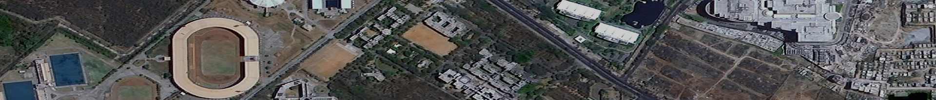
Land use & Ecology
Objective and Focus Areas
The division plays a vital role in satellite data interpretation of resources such as settlements, cropland, wasteland, wet lands, forest, water bodies etc. The geospatial data thus derived is helpful for growth of different sectors, planning and development of state as a whole. Effective management and sustainable utilization of natural resources is the need of the hour. There is an urgent necessity to orient towards planning at grass-root level for development up to village level, adopting participatory and coordinated approach.